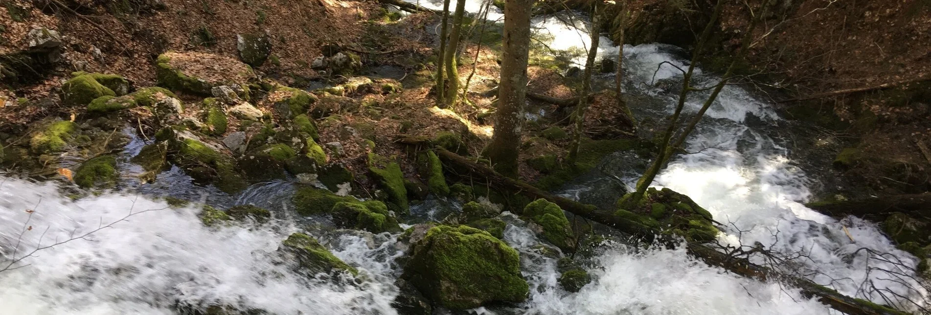

Erlaufursprung
During heavy rains and during snowmelt, the cavities fill up in a short time. Then the cave functions as a "waterspout", as a powerful "spillway" emerges.
Characteristics
Best season
The tour in numbers
Map & downloads
More information
Coming from St. Pölten take the B20 (Annaberg and Josefsberg) to Mitterbach. In Mitterbach turn right onto Seestraße and always follow the road.
The road is mostly flat and right next to the lake. After about 15-20 minutes we reach a gravel road, which we follow as well until we finally reach the "Gut Lindenhof".
At the Lindenhof we go straight past, following the forest road until we reach the sign on the left (Brunnsteinweg-Erlaufsprung).You are now on the Brunnsteinweg and follow a beautiful forest path, in this case to the Erlaufursprung.
Return the same way.
Main square 13, 8630 Mariazell
T: +43 3882 2366
Hiking map available free of charge at the office of the Tourist Association Hochsteiermark - Mariazeller Land!


