Tauplitzalm-Gnanitzalm from Tauplitz
Via Steirersee and Schwarzensee to Leistenalmhütte and on to Interhütten-Alm. Continue via the Gnanitzalm back to Tauplitz
UP BY LIFT. DOWN ON FOOT. From Tauplitz via Steirersee and Schwarzensee to the Leistenalmhütte and right to the Interhütten-Alm, you enjoy your time out to the Gamsofen. Following the Grimmingbach you stroll relaxed back over the Gnanitzalm.
Characteristics
Best season
January
February
March
April
May
June
July
August
September
October
November
December
The tour in numbers
medium
Level of difficulty
20,7 km
Route
6:30 h
Time
257 hm
Uphill
993 hm
Downhill
1706 m
Highest point
Map & downloads
More information
On the Ennstal Bundesstraße B 320 at the traffic circle in Trautenfels take the exit towards Tauplitz. Drive along the Salzkammergutstraße B 145 until you reach the village.
Take the chairlift to the Tauplitzalm. Then you start on the marked trail no. 218, first to the Steirersee, then to the Schwarzensee and to the Leistenalmhütte. From there, continue to the right to the Interhüttenalm. In the Gamsofen area the trail goes downhill. Following the Grimmingbach you hike via the Gnanitzalm on the forest road back to Tauplitz.
Stop for refreshments at the managed huts in the Gnanitzalm.
Parking at the Bottom Station Tauplitzalm
Tourist information: www.schladming-dachstein.at
Schladming-Dachstein Tourist Office
Ramsauerstraße 756
8970 Schladming
T: +43 3687 23310
info@schladming-dachstein.at
Schladming-Dachstein Tourist Office
Ramsauerstraße 756
8970 Schladming
T: +43 3687 23310
info@schladming-dachstein.at
- SCHLADMING-DACHSTEIN Hiking EAST. Available free of charge from tourist offices and accommodation providers.
- SCHLADMING-DACHSTEIN Hiking Map 1:50,000
- KOMPASS Hiking Map 68, Ausseerland-Ennstal 1:50,000, hiking, cycling, ski touring
Gallery
1/3

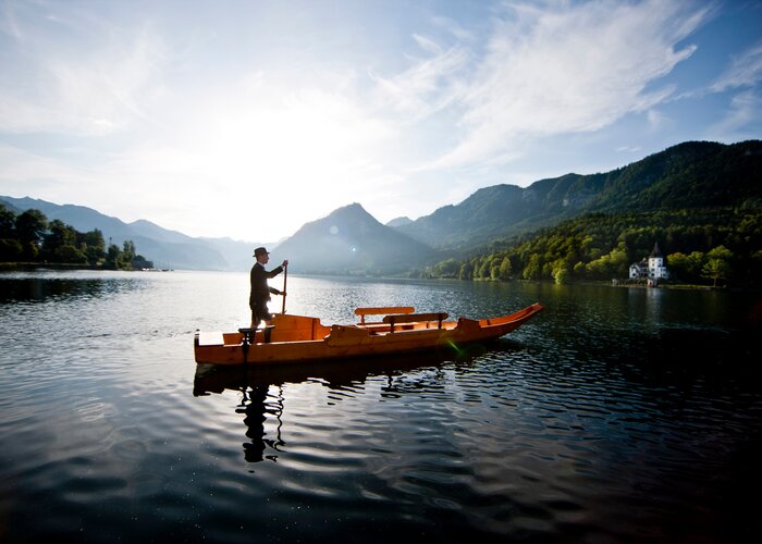
Am Ufer des Steirersee auf der Tauplitz | © Erlebnisregion Schladming-Dachstein | Manuel Capellari
2/3

Der Schwarzensee auf der Tauplitz im Spätherbst | © Erlebnisregion Schladming-Dachstein | Manuel Capellari
3/3

Wia dahoam Hittn auf der Leistalm | © Jürgen Hentschel
What the weather will be like
Bad Mitterndorf (800m)
Morning

14°C
0%
5 km/h
Noon

23°C
40%
10 km/h
Night

18°C
50%
5 km/h
Fairly sunny with scattered clouds. Showers will be possible towards evening.
Morning
12°C
65%
0 km/h
Noon
16°C
80%
10 km/h
Night

12°C
85%
5 km/h
Variable with showers in the beginning. The showers will turn into persistent rain in the afternoon.
05.05.2025
6°C
12°C
06.05.2025

6°C
12°C
07.05.2025
5°C
14°C