
Wienerbruck - Ötscherhias - Vorderötscher - Erlaufklause
Rugged rocks, thundering waterfalls, unique nature - this is how one of the most exciting landscapes in Austria presents itself.
Hiking experience of a special kind: the "Grand Canyon" of Austria - the Ötschergräben await you with impressive scenery and waterfalls.
Characteristics
Best season
The tour in numbers
Map & downloads
More information
From the Ötscherhias we hike on trail 622 through the almost even more magnificent back Ötschergräben past the Mirafall to the Schleierfall junction (definitely worth a detour). Take the Greimelsteig to the right up to the Vorderötscher inn and after a well-deserved rest we hike back along the Ötscher road to the Hagengut and on to the Erlaufklause stop.
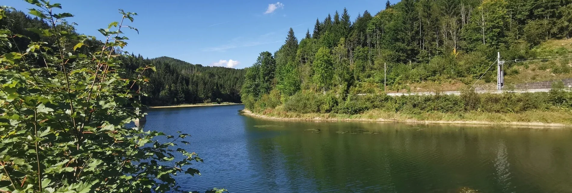
Alternative: before Erlaufklause turn right and walk along the southern shore of the reservoir Erlaufklause on a shady forest promenade to Mitterbach (walking time Erlaufklause - Mitterbach: approx. 1 hour)
From Erlaufklause or Mitterbach we return to our starting point in Wienerbruck with the Mariazellerbahn.
TIP: who does not want to walk on the Ötscher road (yet very long distance on a gravel road, about 6 km), goes the same way back through the ditches to the Ötscherhias and then turns right at the Ötscherhias up to the Hagenstraße and past the Hagengut to the stop Erlaufklause.
main squere 13, 8630 Mariazell
T: +43 (0) 3882 2366
Hiking map - available at TVB Mariazeller Land


