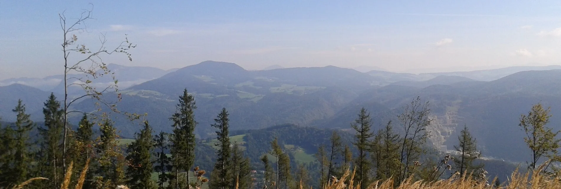

Schartnerkogel circuit
Characteristics
Best season
The tour in numbers
Map & downloads
More information
a) Downhill along the Königgraben on the GUWb and 19B trails, past the Bernthaler inn and, along the municipal road and the L322 in a northerly direction, back to your starting point.
b) Descent on trail no. 19 along the Feistergraben (northbound).
c) The longest route is the descent over the Hagensattel saddle and the Gamskogel (859 m). From the Hagensattel, follow path 19a past the bear cave (not far from the Gamskogel, your second summit today!). After having immortalized yourself in the book at the summit cross, hike downhill in the direction of Stübing to the Bernthaler inn in Königgraben. Follow the municipal road and L322 north to get back to your starting point after about 1.5 km. If you are on your last legs, you can get back to the centre of Deutschfeistritz with taxi flux.at
Taxi flux.at
More information on train and bus connections: www.verbundlinie.at and www.oebb.at
Meals and refreshments: café & restaurant ProTennisAustria, Bernthaler inn, Café da Capo, and Viertler’s farm shop on the main square in Deutschfeistritz.


