
Krakau High altitude hike
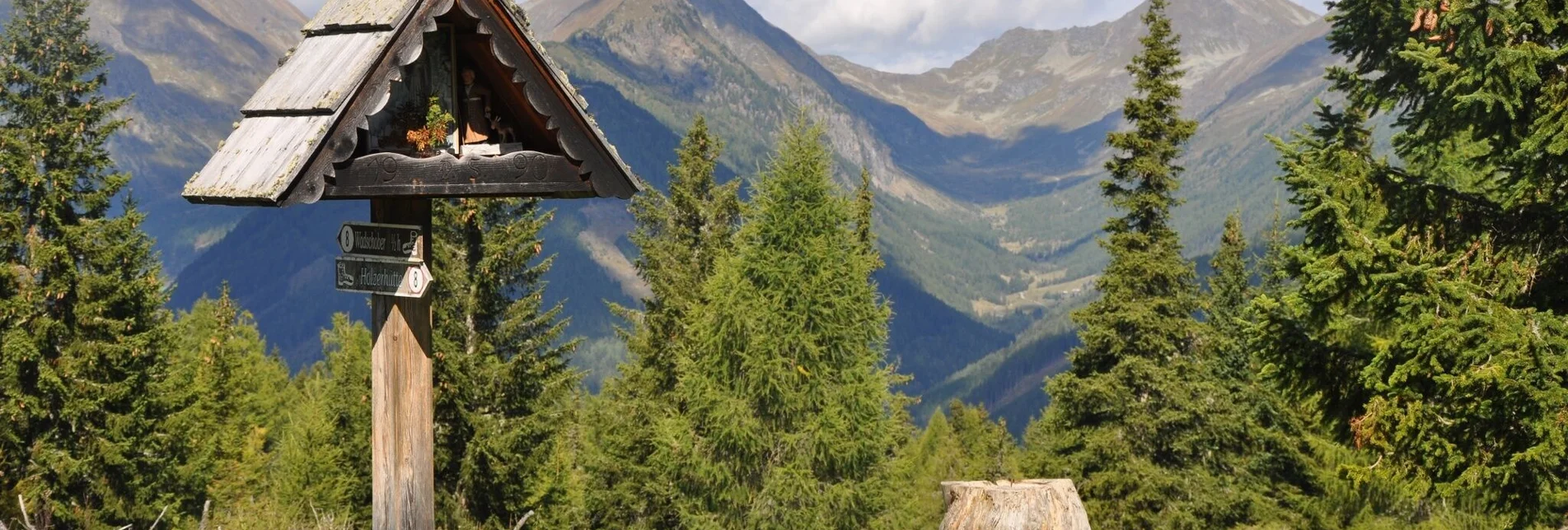
At two huts there are fountains with clear, fresh drinking water. The main attraction of this ridge hike is the wonderful panoramic view of the Gstoder, the neighboring Lungau, the Etrachtal, the Rantental and the Prebertal. In addition, the beautiful mixed forest, but especially the many larches, the beautiful alpine pastures, which are still partly mowed, and the mysterious moorland areas are very exciting. Especially in autumn, this tour is a dream hike with many beautiful viewpoints.
Characteristics
Best season
The tour in numbers
Map & downloads
More information
From Graz on the A 9 to St. Michael i. d. O.. Further see above.
West, North: From Bregenz/Innsbruck via the A 12, A 93 and A 8 to Salzburg. From Salzburg on the A 10 to St. Michael im Lungau. From here on the B 96 to Tamsweg and further towards Murau via Sauerfeld to Krakau.
South: From Klagenfurt on the B 83 to Scheifling. Then take the B 96 to Murau and on to Krakau.
It is 5 km from the Schattensee to the starting point at the Jagawirt.
- Gasthof Jagawirt
- Fischerhütte at the Schattensee (currently closed)
ÖBB www.oebb.at | Verbundlinie Steiermark www.busbahnbim.at


