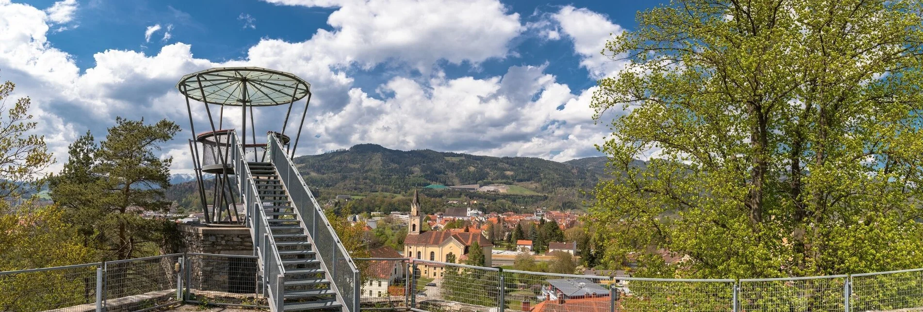

Massenburg Ruin - Leoben viewing platform
A viewing platform offers a magnificent view of Leoben and the surrounding mountains. The Massenburg dates back to the 9th or 10th century. Only for the 12th century the name Massenburg is documented.
The path is perfect for a short hike that is not too strenuous but always worthwhile.
The path is mainly asphalt, so it is also possible to walk on it with a wheelchair or anything else.
In addition, you can continue the short hike by following the trail to the Pamplicherwarte.
Characteristics
Best season
The tour in numbers
Map & downloads
More information
The path continues through the beautiful city park ''Am Glacis'', past the ''Eggenwaldsche Gartenhaus'' to the Jakobikreuz, which was built on the opposite side of the street.
The path continues south along the Dirnböckweg and the Massenbergstraße, which leads directly to the ruin.
After a few minutes you finally reach the former gate building that leads to the courtyard of the Massenburg.
- wonderful view over Leoben
- Unique photo backdrop for amateur photographers
With the BusBahnBim app of the Verbundlinie, timetable information has never been easier: all bus, train and tram connections in Austria can be queried by entering locations and/or addresses, stops or important points. The app is available as a free app for smartphones (Android, iOS) - on Google Play and in the


