
Around the Tausing
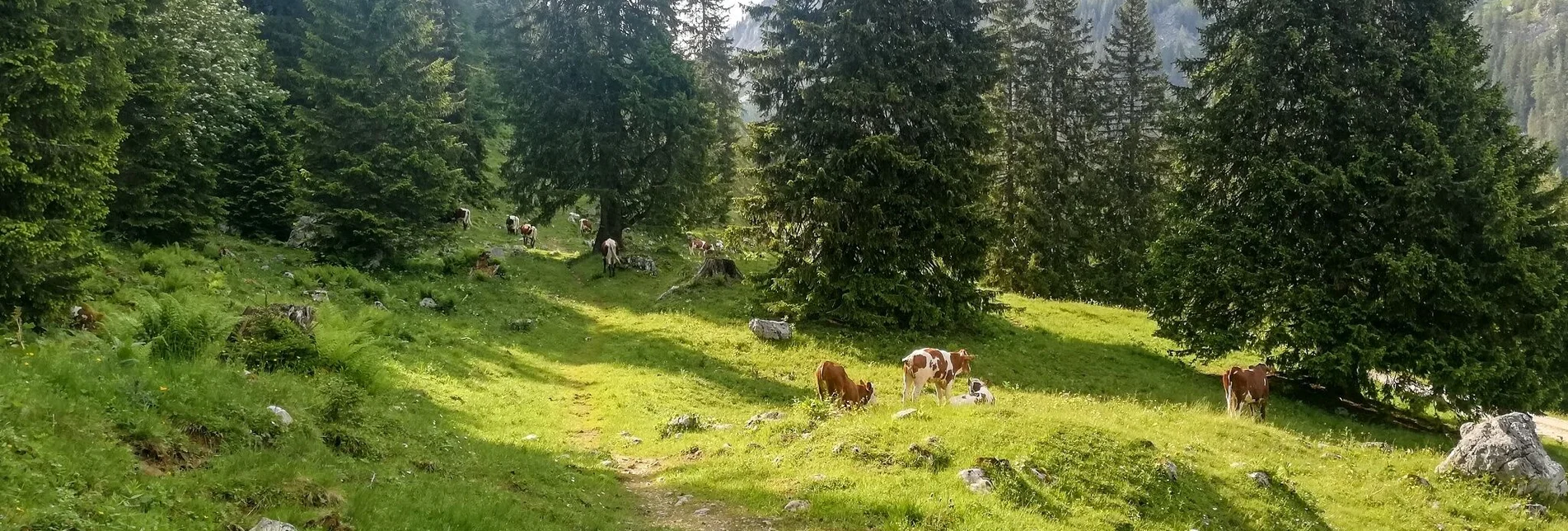
Heading south, it's downhill over forest paths on the west side of the Tausing to the kitschy beautiful Bärenfeichtenalm. Alternating between forest and forest paths, we reach the exit of the gorge and walk along the Klammsteig towards the Wolkenstein castle ruins. The last ascent goes left path over an old path towards Vorberger and finally about one kilometer over the asphalt road past the Oberkogleralm (refreshment tip) and the forest road to the starting point at the parking lot Schönmoos.
Characteristics
Best season
The tour in numbers
Map & downloads
More information
Tourism blog: www.derbergdastal.at
www.schladming-dachstein.at/de/Sommer/Wandern-und-Bergsport/Laufen-und-Trailrunning
Tourist Office Schladming-Dachstein
Ramsauerstrasse 756
8970 Schladming
T: +43 3687 23310
Garbage on meadows and paths can not smell mountain and valley. Please take it with you. Agriculture and forestry are important partners for Berg und Tal. They allow you to walk and drive on many of their paths. Be aware that only good cooperation will guarantee your recreational enjoyment in the future.
-
Trailrunning map Schladming-Dachstein: available free of charge at all info locations


