
Gr. Meiereck
If the avalanche situation is safe or if there is firn, the Kälberleiten is a great pleasure.
Characteristics
Best season
The tour in numbers
Map & downloads
More information
from St.Gallen in the direction of Admont . After the district of Oberreith, turn right into the Pölzau. Continue to the end of the road to a small car park.
In very safe conditions you can turn right shortly before the Seiseralm and ascend through the Kälberleiten.
Descent: From the summit, either descend through the beautiful cirque of the Kälberleiten (only in safe avalanche conditions!!) or return via the ascent track.
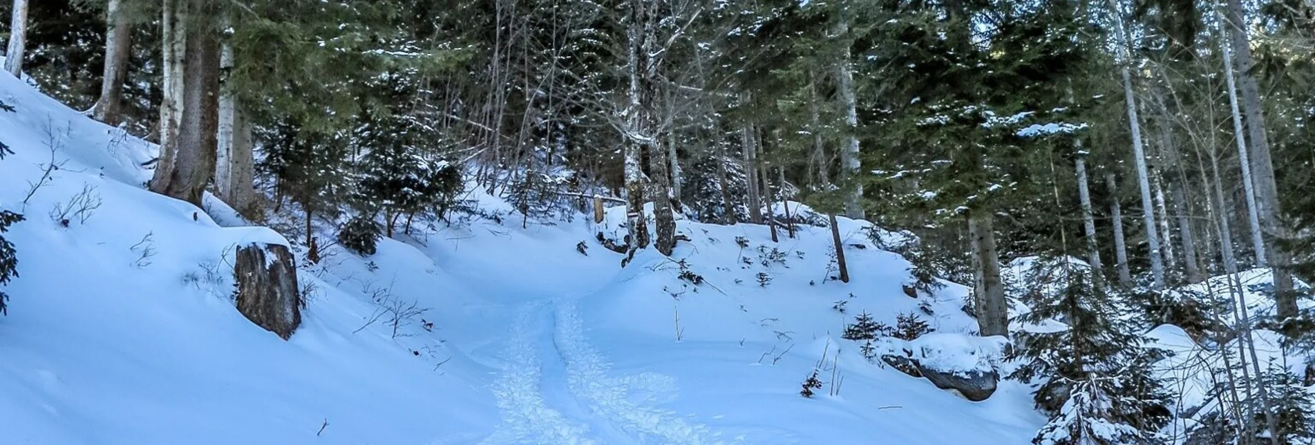
At the meadow hollow you can follow the initially flat forest road on the right and later shorten it through the woods.
If the avalanche situation is safe or if there is firn, the Kälberleiten is a real treat.
Fahrplanabfrage ÖBB www.oebb.at oder Verbundlinie Steiermark www.busbahnbim.at
Mit der BusBahnBim-App der Verbundlinie ist eine Fahrplanauskunft so einfach wie noch nie: Alle Verbindungen mit Bus, Bahn und Straßenbahn in Österreich können durch die Eingabe von Orten und/oder Adressen, Haltestellen bzw. wichtigen Punkten abgefragt werden. Erhältlich ist die App als Gratis-App für Smartphones (Android, iOS) – auf Google Play und im App Store.
Wildalpen 91 – 8924 Wildalpen Tel. 03636/241 infosalza@gesaeuse.at
Mo und Fr. 9:00-17:00
carto.at / Wander-, Rad- & Schitourenkarte „Nationalpark Gesäuse“Gesäuseberge – Haller Mauern – Eisenerzer Alpen West, Nr. 801
Rother Wanderführer Gesäuse, G. und L. Auferbauer (2018)


