Klinkehütte
AdmontAlpine idyll and steep rock
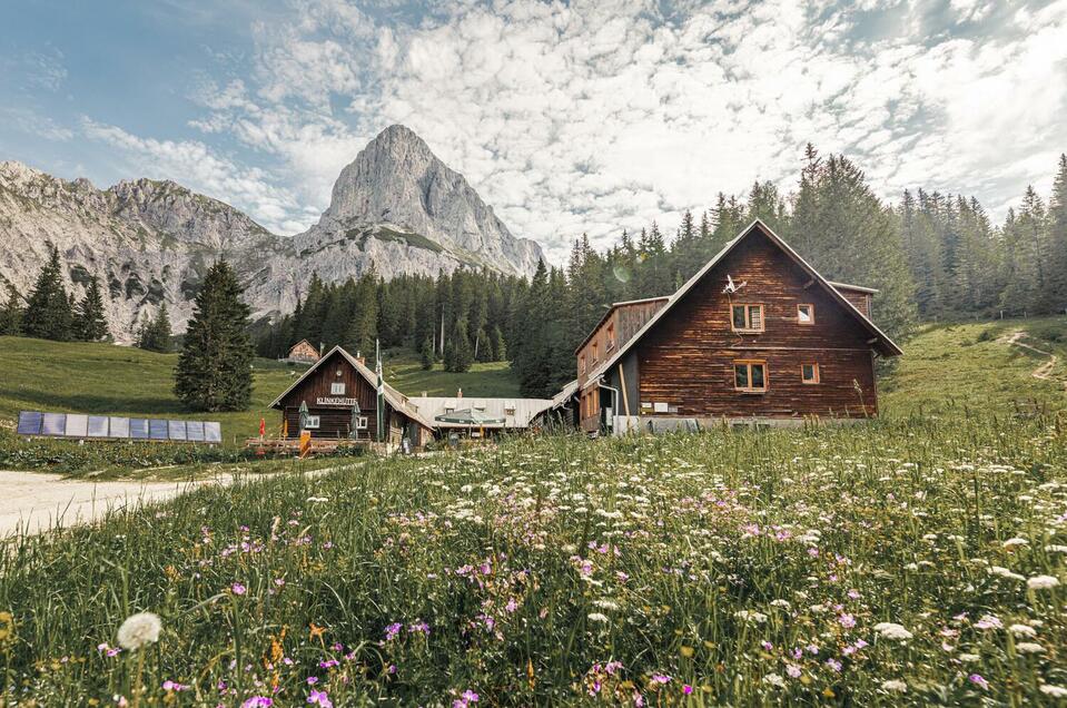
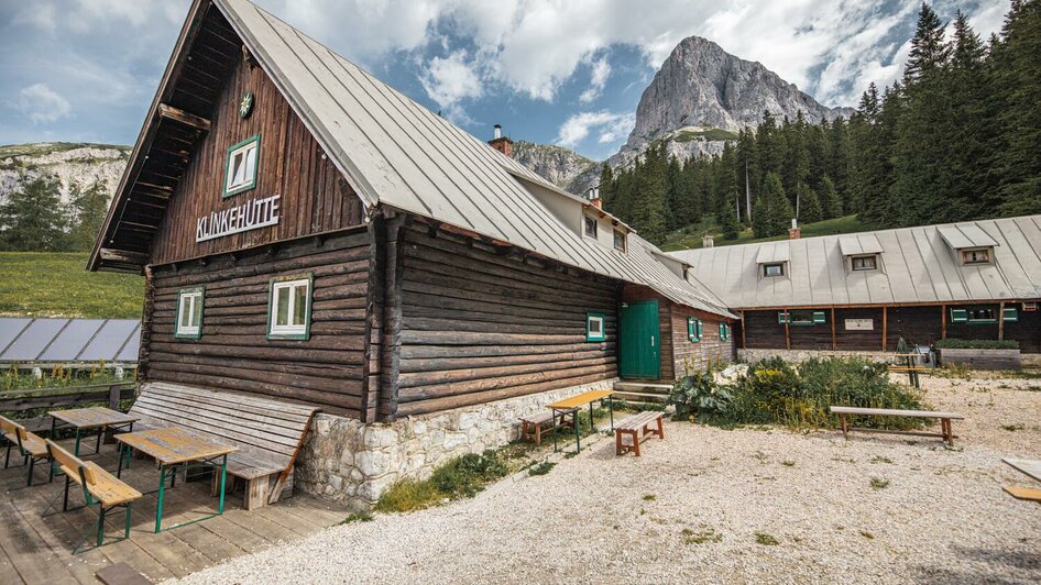
Nowhere else in the Gesäuse mountains are 2000-metre peaks easier to reach than those proud peaks that line up around the Klinkehütte. And those who don't want to climb so high can relax on romantic alpine meadows or on a walk in a magical landscape covered in deep snow.
From easy to difficult
From the house car park, visitors are separated by just under 700 metres in altitude from the highest peaks of the Reichenstein Group - hiking pleasure and extreme mountaineering are literally close together here: the quickly reached steep faces of the Kalbling and the Sparafeld offer a variety of climbing routes in all degrees of difficulty. A gentler picture, on the other hand, is painted by the circuit over the Wagenbänkalm or the traverse of the Lahngang peak with its magnificent views.
Alpine educational competence
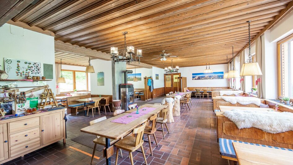
The ideal location and facilities have made the ÖAV refuge the "Alpine Education Centre of the Eastern Alps". Not only do various emergency organisations use the hut and its surroundings for training purposes, but the Klinkehütte is also considered an ideal base for local mountain guides and mountain hikers. The courses on offer range from rock taster courses to yoga on the mountain.
Access
- from Admont via the Sieglalm, trail no. 601 in 3.5 hours
- via the Scheiblegger Hochalm, Kreuzkogel and Riffel, trail no. 601A (I+) in 5 hours
- via the Kaiserau, trail no. 654 in 1 hour
- via the Kalbling-Höhenstraße in 1 hour
Transition / Tours / Summits
- The Klinkehütte is part of the "Gesäuse Hüttenrunde", the Luchs Trail and the tour "Vom Gletscher zum Wein Nordroute".
- to Mödlinger Hütte on trail no. 608 in 2 hours
- Admonter Kalbling (2196 m) on trail no. 655 via Kalblinggatterl in 2 hours
- transition to Sparafeld (2247 m) in approx. 30 minutes
- Wagenbänkalm (from Kalblinggatterl no marking in 1 hour, continue on marked trail to Lahngang (1778 m) - round trip total 2.5 hours
- Circular hike: Riffelspitz (2106 m) on trail no. 601A (ridge hike I+). Ascent via marked Jägersteig to Scheiblegger Hochalm (1 hour, I+) further on to Kreuzkogel (2011m, 1 hour) and via Riffelgrat (1+) to Riffelspitz. Descent to Klinkehütte (1.5 hours) or crossing to Kalbling and Sparafeld
- Hahnstein (1695 m) from Roßkarkehre via Jägersteig (I+) to Scheiblegger Hochalm and further around Hahnstein summit in 1.5 hours.
Climbing
Ideal conditions at Admonter Kalbling... - South ridge (IV-) -West face (IV) -South face (IV+) Sparafeld (e.g. Diagonal VI-)
Links to the tour descriptions
From Admont to the Klinkehütte
From the Klinkehütte to the Admonter Kalbling, Sparafeld and Riffel
Luchs Trail stage 05 Klinkehütte - Johnsbach
Circular route Lahngangkogel - Klinkehütte - Kalbling - Sparafeld - Riffel
Admont - Hahnstein - Admonter Kalbling - Klinke Hütte - Mödlingerhütte - Johnsbach
Documents
Closed
23.May 2025 to 26.Octobre 2025 daily open
Contact
Marvin und Emilia Bennett
Krumau 2
8911 Admont


