From the Ursprungalm to the Giglach Lakes
Easy, short hike at elevations between 1700 and 1900 m, on a good trail to two very photogenic mountain lakes with splendid views of the Dachstein.
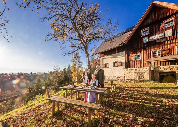
Long, beautifully formed Preuneggtal Valley is accessed via a toll road, with a hiking bus traveling out as far as the Ursprungalm several times a day. This is a small alpine hamlet, enjoying a picturesque setting amid a verdant basin at the foot of the towering Steirische Kalkspitze. Leaving from the Ursprungalm, we hike along a good mountain pathway (way no. 771) and, in about one hour, reach the Giglach Lakes. The valley basin is flanked by imposing alpine peaks, while the two lakes are separated only by a narrow strip of land and are definitely worth hiking around. Two alpine refuge huts offer hospitality straight from the heart, accompanied by beautiful views. They serve as important bases at this alpine trail crossroads in the heart of magnificent mountain scenery.
Characteristics
Best season
January
February
March
April
May
June
July
August
September
October
November
December
The tour in numbers
easy
Level of difficulty
9,6 km
Route
3:30 h
Time
350 hm
Uphill
350 hm
Downhill
1955 m
Highest point
Map & downloads
More information
From Schladming either via Rohrmoos or Pichl to the Preuneggtal. Starting at Strickbrücke bridge you continue on the toll road to Ursprungalm.
A nice wide trail (n° 771) takes us from Ursprungalm towards the Giglachsee Lakes. The trail ascends fairly steep in the beginning and in the end with flatter sections in between. Reaching Preuneggsattel you grasp the first view into the Giglachkar cirque. We walk along the left side of the Lakes and continue to Ignaz-Mattis-Hütte. Back along the other side of the Lakes we also pass by Giglachseehütte. Again walking past Preuneggsattel we make our way back to Ursprungalm where we started.
Approximately from half-way up to Preuneggsattel you can also hike along a historic Roman trail.
Hiking bus (# 972) from Planet Planai in Schladming via Rohrmoos to Ursprungalm in Preuneggtal valley.
Parking area at Ursprungalm.
Info about buses: www.planai.at
- Hiking map Schladming, 1:25.000, available at the tourist office Schladming.
- Hiking map Schladming-Dachstein, 1:50.000, available at the tourist office Schladming.
Gallery
1/11

Ursprungalm | © Tourismusverband Schladming | Schladming Dachstein
2/11

Wanderportal Ursprungalm | © Erlebnisregion Schladming-Dachstein | Tourismusverband Schladming
3/11

Ursprungalm | © Erlebnisregion Schladming-Dachstein | Schladming Dachstein
4/11

Die historische Römerstraße zum Preuneggsattel | © Gerhard Pilz - www.gpic.at | Gerhard Pilz
5/11

Steinmandl am Preuneggsattel | © Gerhard Pilz | Gerhard Pilz
6/11

Giglachsee Hütte, Preuneggtal - Schladminger Tauern | © Herbert Raffalt | Herbert Raffalt
7/11

Giglachkar mit Giglachseen | © Erlebnisregion Schladming-Dachstein | Schladming Dachstein
8/11

Oberer und Unterer Giglachsee - Schladminger-Tauern | © Erlebnisregion Schladming-Dachstein | Herbert Raffalt
9/11

Giglachsee | © Erlebnisregion Schladming-Dachstein | Schladming Dachstein
10/11

Ignaz-Mattis-Hütte mit Giglachseen und Lungauer Kalkspitze | © Tourismusverband Schladming - Gerhard Pilz | Gerhard Pilz
11/11

Wanderung in Schladming-Dachstein: Von der Ursprungalm zu den Giglachseen | © Outdooractive – 3D Videos