Miners' Trail - Short Variant via Johannahöhe
Short alternative to the Miners Trail to Hopfriesen. This tour takes you half-way to Obertal and loops back to Rohrmoos via a nice trail through the forest.
- Characteristics:
alpine pasture
- Restaurants:
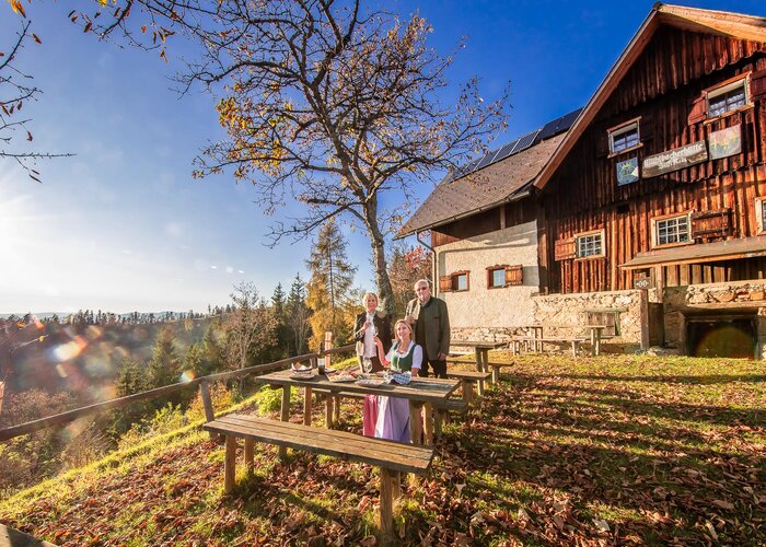
Rohrmooser Erlebniswelt, Hotel Sonneck, Arx Genusshotel, Restaurant Braunhofer, Wehrhofalm, Holdalm, Eschachalm
- POIs:
Johanna Höhe with beautiful view to the Obertal
- Alternative:
A somewhat longer (approx. +45 min.) variant of the tour is possible via Ahornweg road, the forestry lane Royer Ötz and the Schlapfer farm.
Characteristics
Best season
The tour in numbers
Map & downloads
More information
From the centre of Rohrmoos, walk uphill along the pavement for approx. 300 m until the Knappenweg branches off to the left. Just a few metres further on at the Schußbühel, you feel as if you have been transported to a different landscape: a wide alpine pasture area opens up to the south and the meadow path leads through the middle of the lush pastures of the Rohrmooser Frei.
As you walk gently downhill towards the Obertal valley, you should enjoy the beautiful views of both the Untertal and Obertal valleys. At the vlg. Sonnleitner estate, you reach the Rohrmoos-Südweg/Knappenweg crossroads and hike uphill along the road to the vlg. Pocher where you reach the Johannahöhe and the Schwammerlweg.
The ascent to Johannahöhe leads a short distance across a meadow quite steeply uphill. After another 100 metres on a forest path, you reach the beautiful forest path with the start of the very beautiful Schwammerlweg trail. The forest path then leads slightly downhill in 20 to 25 minutes back to Rohrmoos.
- Buses of Planai-Hochwurzen-Bahnen: www.planaibus.at
Tourist information: www.schladming.com
Information about bus schedules: www.planaibus.at
- Hiking map ‘Hiking WEST’ available at the information offices in the region.
- Schladming hiking map, 1:25,000, available at the Schladming information office.
- Hiking map Schladming-Dachstein, 1:50,000, available at the information offices in the region.
- Hiking guide Schladming-Dachstein by Herbert Raffalt, available at the information offices in the region.
Gallery