BergZeitReise Tagestourentipp Hubertussee und Walster
A dolomite-like gorge, beautiful flora, especially in spring, and the lake are a real highlight in Hochsteiermark as an excursion hike.
Characteristics
Best season
The tour in numbers
Map & downloads
More information
The idyllically situated Hubertussee in the Walster River, not far from Mariazell, provides us with such a shared, easy hiking experience. The circular hiking trail, which is about an hour's walk long and barrier-free, begins at a small dam (beware, limited parking!) in the valley of the white Walster.
From Mariazell, a narrow but well-maintained road leads downhill from Kreuzberg, keeping to the left (follow the sign) through the Rechengraben in about 6 kilometers to this very dam wall. Now cross this wall and through a short tunnel always follow the well recognizable path (may also be driven on, but is little frequented by vehicles here).
Soon we reach the small, somewhat elevated Bruder Klaus church, which invites us to take a short break. Now follow the wide path further and after about 25 minutes of walking cross the tributary of the Hubertussee. Now we return to the starting point on the other side of the lake. Oh yes, after crossing the tributary, you can reach the well-known inn "Wuchtlwirtin" in 10 - 15 minutes on foot, keeping to the left.
In the valley of the Schwarzwalster
For those who want to take a more athletic approach, we recommend the longer and somewhat more strenuous variant through the idyllic valley of the Schwarzwalster.
We also start at the dam wall, but hike about 200m out of the valley to a bridge, which takes us to a forest path on the right. We follow this path, at first through a wide, but then increasingly narrower valley, accompanied by the gentle ripple of the ever-present Schwarzwalsterbach stream. After about 20 minutes the path divides. We keep slightly to the right (signpost) in the direction of Fadental. Through a narrow but short and easy to walk rocky gorge we continue, slightly uphill, until we reach the Fadental. Now keep to the right again, following a bend downhill to the so-called Schnittlermoos. Now always walking in a southerly direction, until suddenly the Hubertussee and the Bruder Klaus church appear in front of us again. At the church, either keep to the right and return to the dam wall or, as a bonus, keep to the left around Lake Hubertus and return to the starting point.
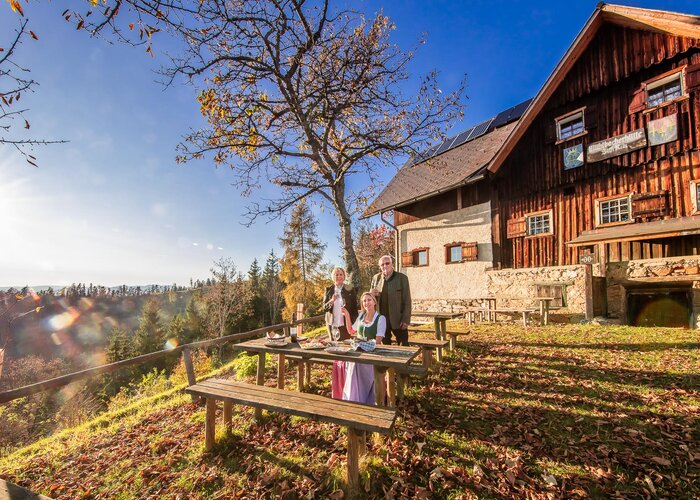
Last but not least, as a personal tip, we recommend a stop at Mariazell's Hautplatz. Coffee (or a beer) and cake in the face of the Mariazell Basilica - that can be something!
Hunting ground, pilgrimage route and recreation area
Therefore, it is all the more important that all visitors who spend their valuable leisure time here adhere to a few simple rules in order to allow hunting and forestry as well as the use of nature together.
1. stay on the marked and signposted trails.
2. do not dispose of trash in the landscape.
3. keep dogs on a leash and take any "leftovers" of the four-legged friend with you.
4. use only approved paths and roads.
5. observe restricted forest areas and game rest zones!
All bus, train and streetcar connections in Austria can be queried by entering places and/or addresses, stops or important points.
The app is available as a free app for smartphones (Android, iOS) - on Google Play and in the App Store.
The Styria Tours App, available for free on Google Play and in the App Store (Android, iOS), offers detailed first-hand information: short facts (length, duration, difficulty, ascent and descent in altitude meters, ratings), map, route descriptions, altimeter, compass, summit finder, navigation along the tour. In addition, you can create your personal favorites list of favorite tours and points, save tours and destinations offline, play on social media channels and more.
With the BusBahnBim app from Verbundlinie, finding a timetable has never been easier:
All connections by bus, train and streetcar in Austria can be queried by entering places and/or addresses, stops or important points. The app is available as a free app for smartphones (Android, iOS) - on Google Play and in the App Store.
Free Pocket Card hiking route "From glacier to wine" can be found at www.steiermark.com.Hiking map BergZeitReise through Hochsteiermark can be found at www.hochsteiermark.at
Compass WK212 Hochschwab, Mariazell, Eisenwurzen www.steiermark.com/buecher
Freytag &Berndt WK41 Hochschwab - Veitschalpe - Eisenerz - Bruck an der Mur www.steiermark.com/buecher
Hiking guide "BergZeitReise", self-published by Hochsteiermark.Available in the webshop Hochsteiermark, in the office of the TV in Bruck/Mur and in well-stocked bookstores.
Gallery


What the weather will be like
Mariazell (860m)