Familientour zum Windberg im Naturpark Mürzer Oberland
Due to the numerous variants, the tour can be recommended for all age groups.
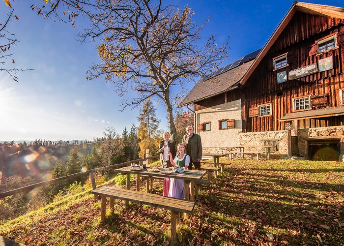
The hike is especially beautiful in early summer, when the alpine flowers bloom so beautifully and the cows give a real alpine feeling.
In autumn, on the other hand, the distant view is usually more beautiful and the one or other chamois crosses our path.
Characteristics
Best season
The tour in numbers
Map & downloads
More information
Here, at the barrier, a wide forest road begins, which leads us to the mentioned Kohlebner Stand (transmitter, viewpoint). Passing the nearby Kutatschhütte (shelter), we continue uphill until we reach a hairpin bend. Here we turn left and hike on a wide trail (partly unmarked) directly towards the Windberg summit (1,903m, highest point of the Schneealm).
Finally, over a few rocky path sections (easy, fun for children, easy climbing possible) to the summit with the large summit cross (about 1 1/2 - 2 hours from the P). The distant view reaches here on nice days from the Dachstein over the Karawanken to Hungary and the Mariazeller Land.
We descend along the marked path and after a few minutes we reach the Schneealm plateau (alpine landscape, natural jewel, karst area). Not far from our descent route is the rustic Michlbauerhütte, which invites you to take a rest.
We could now return directly to the P on the wide alpine road (approx. 1 - 1 1/2 hours from the Michlbauerhütte).
However, if you are still fit enough, we recommend continuing to the Lurgbauerhütte on the Ameisbühel, which is about 45 minutes away on foot (hardly any inclines) - an organic alpine cheese dairy with local specialties awaits us here.
Back from the Lurgbauerhütte, we walk across the plateau keeping slightly to the left to the clearly visible Schneealmhaus. This offers a final break with panoramic guarantee (magnificent view of the neighboring Rax).
Now it goes over a well-marked hiking trail in about an hour back to the P at the Kohlebner Stand.
ÖBB www.oebb.at or Verbundlinie Steiermark www.busbahnbim.at.
With the BusBahnBim app of the Verbundlinie, timetable information is easier than ever: all connections by bus, train and streetcar in Austria can be queried by entering places and / or addresses, stops or important points. The app is available as a free app for smartphones (Android, iOS) - on Google Play and in the App Store.
Mürzer Oberland Nature Park Office, Tel. +43 3857 8321, www.muerzeroberland.at , open Mon. - Fri. from 8:00 a.m. - 12:00 p.m.
Styria Tourism, Tel. +43 316 4003, www.steiermark.com
TRV Hochsteiermark, tel. +43 3862 55020, www.hochsteiermark.at
Tip: the Styria Tours app, available for free on Google Play and in the App Store (Android, iOS), offers detailed first-hand information: short facts (length, duration, difficulty, ascent and descent in altitude meters, ratings), map, route descriptions, altimeter, compass, summit finder, navigation along the tour. In addition, you can create your personal favorites list of favorite tours and points, save tours and destinations offline, play social media channels and more.
Mountain, hiking and nature park guides: Information at the Nature Park Office Mürzer Oberland, Tel.: +43 3857 8321.
By the way, get your personal summit pins with the Summit Lynx App: www.summitlynx.com
In the office of the Nature Park Mürzer Oberland you will gladly receive a regional overview map free of charge.Kompass hiking maps Vienna Hausberge, Schneeberg, Rax, 1:25.000, Freytag & Berndt hiking maps Semmering, Rax, Schneeberg, Schneealpe and Hochschwab, Veitschalpe, Eisenerz, Bruck an der Mur, 1:50.000.
Tip: the free Pocket Card hiking route "From Glacier to Wine" can be found at www.steiermark.com, the High Styrian hiking map "Hoch hinaus" and the "BergZeitReise" are available free of charge at the Nature Park office.
Hiking guide "BergZeitReise" of the TRV Hochsteiermark, 2017Gallery


What the weather will be like
Mariazell (860m)