Kothüttenseeweg
From the Alpengasthof Grimmingblick via the path to the high plateau and the path further to the Kothüttensee. Same way back.
HIKING ROMANCE. At Gasthof Grimmingblick you start out, first over the stony path - some would also call it "Bergbacherl" - to the plateau. Continue past high mountain pine fields until you see it on the left in the reed bed: Lake Kothüttensee. A feast for the eyes.
Characteristics
Best season
January
February
March
April
May
June
July
August
September
October
November
December
The tour in numbers
easy
Level of difficulty
2,6 km
Route
1:30 h
Time
203 hm
Uphill
203 hm
Downhill
1792 m
Highest point
Map & downloads
More information
From the Ennstalbundesstraße (B320) at the Trautenfels traffic circle turn off in the direction of Irdning, Donnersbach, Donnersbachwald. In the village of Donnersbach after the village center turn left towards Planneralm. 12 km long ascent via the toll-free mountain road up to the Planneralm.
Your hiking tour starts from the large parking lot, past the Berg & Tal Infoportal, to the Alpengasthof Grimmingblick. After a few meters you go to the right for a short distance over meadow and forest before you come to the stony ascent. The path continues over a beautiful cirque until you see the Kothüttensee on the left, behind high mountain pines. You hike back along the same path.
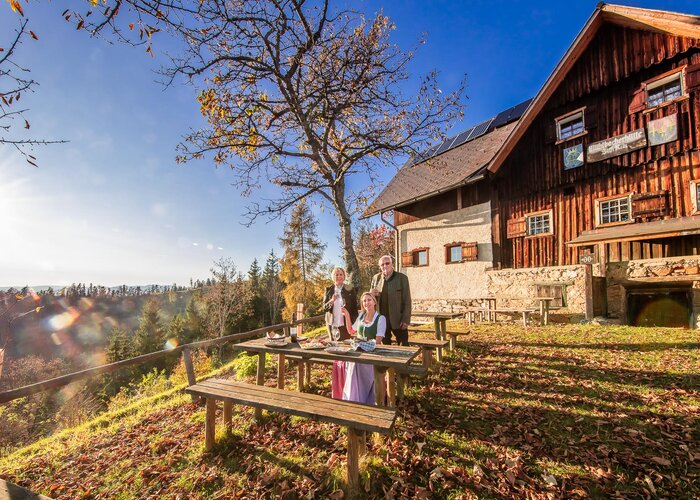
Good place for a break or a picnic.
Free Parking Planneralm
Tourism information: www.schladming-dachstein.at
Tourism blog: www.derbergdastal.at
Tourist Office Schladming-Dachstein
Ramsauerstrasse 756
8970 Schladming
T: +43 3687 23310
info@schladming-dachstein.at
Garbage on meadows and paths can not smell mountain and valley. Please take it with you. Agriculture and forestry are important partners for Berg und Tal. They allow you to walk and drive on many of their paths. Be aware that only good cooperation will guarantee your recreational enjoyment in the future.
Intresting Links: www.planneralm.at, www.bogenschiessen.at, www.schrabachalm.at
- GRIMMING-DONNERSBACHTAL Leisure Map (1:31.000). Available free of charge at tourist offices and lodging establishments.
- SCHLADMING-DACHSTEIN Hiking Map (1:50.000)
Gallery
1/5

Am Beginn tauchen immer wieder die Tiere des Bogenparcours auf. | © Erlebnisregion Schladming-Dachstein | Christoph Lukas
2/5

Über Steinstufen und zwischen Latschen geht´s hinauf in den Plannerkessel | © Erlebnisregion Schladming-Dachstein | Christoph Lukas
3/5

Einmal rechts halten bitte | © Erlebnisregion Schladming-Dachstein | Christoph Lukas
4/5
 | © Erlebnisregion Schladming-Dachstein")
Im Gänsemarsch zwischen Wollgras :-) | © Erlebnisregion Schladming-Dachstein | Christoph Lukas
5/5

Ein Kleinöd dieser Kothüttensee | © Erlebnisregion Schladming-Dachstein | Christoph Lukas